
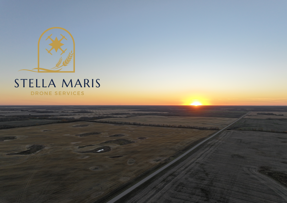
About
Licensed · Insured · Serving East Saskatchewan

Every property tells a story, and the best view of that story is from above.
Based in Theodore and serving Yorkton, Foam Lake, Melville, Canora, Springside, and all points between, we specialize in aerial photography and videography that helps homeowners sell their homes faster, document what they’ve built, and preserve their acreage memories for generations.
We also serve commercial entities who need aerial shots of work sites, properties, vacant land, or industrial buildings. Piloted by a certified professional, every shoot is planned, safe, and delivered with care.
Whether you’re listing a lakefront property, inspecting a 500-acre quarter-section, or preserving memories, we bring the same eye for detail and the same commitment to results.

FAQs
-
We serve Yorkton, Springside, Foam Lake, Melville, Canora, and surrounding communities up to 100 kms from our home-base in Theodore. Have a property further out? Contact us — we’re happy to discuss travel for larger or multi-property projects.
-
Most shoots take between 45 minutes and 1.5 hours on site, depending on property size and the number of shots required. We’ll give you a time estimate when you book.
-
Edited, high-resolution photos are typically delivered within 48 hours via a private online gallery. Video edits may take an additional one to two business days. Rush delivery is available for time-sensitive listings — just let us know when booking.
-
Safety and image quality always come first. We monitor weather closely and will contact you in advance if conditions require rescheduling. There’s no cancellation fee for weather-related reschedules.
-
Photos are delivered as high-resolution JPEGs — RAW files are available on request. Videos arrive as MP4 files optimized for web, social media, and MLS upload.
-
It can help to have someone on site to highlight specific features. For vacant land or unoccupied properties, we’re comfortable working independently once we’ve confirmed your shot priorities in advance.
-
Aerial photography is priced similar to regular photography. We offer individual services and bundled packages — for example, a listing package combining aerial stills and a short video reel. Contact us for a custom quote based on your property and needs.
-
Yes. Upon delivery you receive full rights to use your images and video for MLS listings, social media, print, and personal use. We assume permission to include select images in our own portfolio — which you are always free to decline.
-
Drone technology has expanded far beyond real estate, and the range of industries putting it to work might surprise you. On the agricultural side, farmers use aerial imagery for crop monitoring, identifying problem areas in a field, and precision spraying decisions. In construction and development, drones document site progress, support surveying and mapping, and give developers accurate data without expensive equipment on the ground. Filmmakers and marketing teams rely on aerial footage for promotional videos, commercials, and cinematic content that would otherwise require a helicopter.
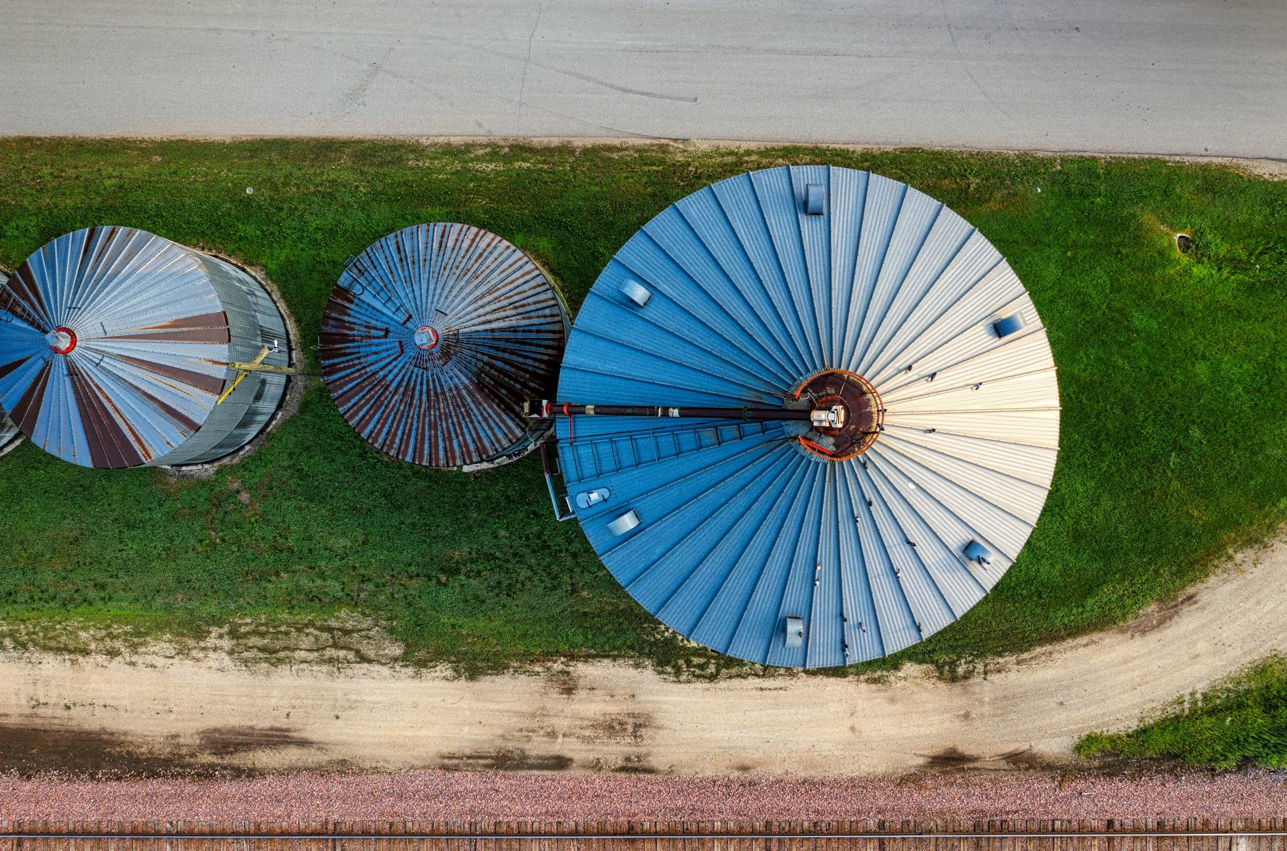
Roof and infrastructure inspections — grain bins, barns, solar arrays, commercial buildings — are a natural fit, giving operators a safe, detailed view of surfaces that are costly or dangerous to access on foot. Aggregate and gravel operations use drone imagery to track stockpile volumes and site changes over time. On the scientific and environmental side, conservation groups and researchers use aerial photography for wildlife monitoring, wetland mapping, and land use documentation.
More specialized applications include geospatial data collection and photogrammetry — where overlapping aerial images are stitched into highly accurate 3D models and topographic maps used by engineers, planners, and surveyors. Emergency services have adopted drones for search and rescue operations, covering large areas of terrain quickly when time is critical. And following natural disasters or severe weather events, aerial imagery gives insurance adjusters, municipalities, and property owners a fast, comprehensive assessment of damage across a wide area.
If you have a project that falls outside the everyday, reach out — we’re happy to talk through what’s possible.
More Questions? Just reach out and we’ll answer them promptly.